Looking for an unforgettable natural experience in Papua New Guinea? Head to Lae, home to some of the country’s most stunning National Parks. You can discover diverse landscapes, rich biodiversity, and unique cultural heritage.
From lush rainforests to majestic mountains, the National Parks in Lae offer a plethora of natural wonders and adventure opportunities. Whether you’re a seasoned hiker, nature enthusiast, or simply seeking tranquility, these parks provide a perfect escape into the heart of Papua New Guinea’s spectacular natural beauty.
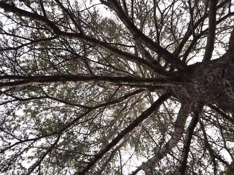
Top National Park in Lae, Papua New Guinea
Top National Park in Lae, Papua New Guinea
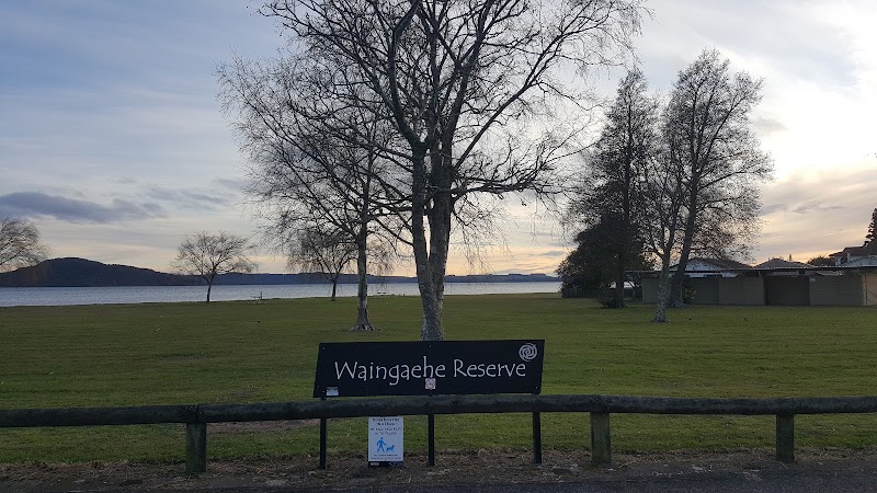
Lae Botanic Gardens
- Address: 7XHW+RHC, Lae 675 Morobe Province, Papua New Guinea
- Map: Click here
- Rating: 3.8 (363)
- Opening hours:
Monday: 8:00 AM – 4:00 PMTuesday: 8:00 AM – 4:00 PMWednesday: 8:00 AM – 4:00 PMThursday: 8:00 AM – 4:00 PMFriday: 8:00 AM – 4:00 PMSaturday: 8:00 AM – 4:00 PMSunday: 8:00 AM – 4:00 PM
[mbag-comment]
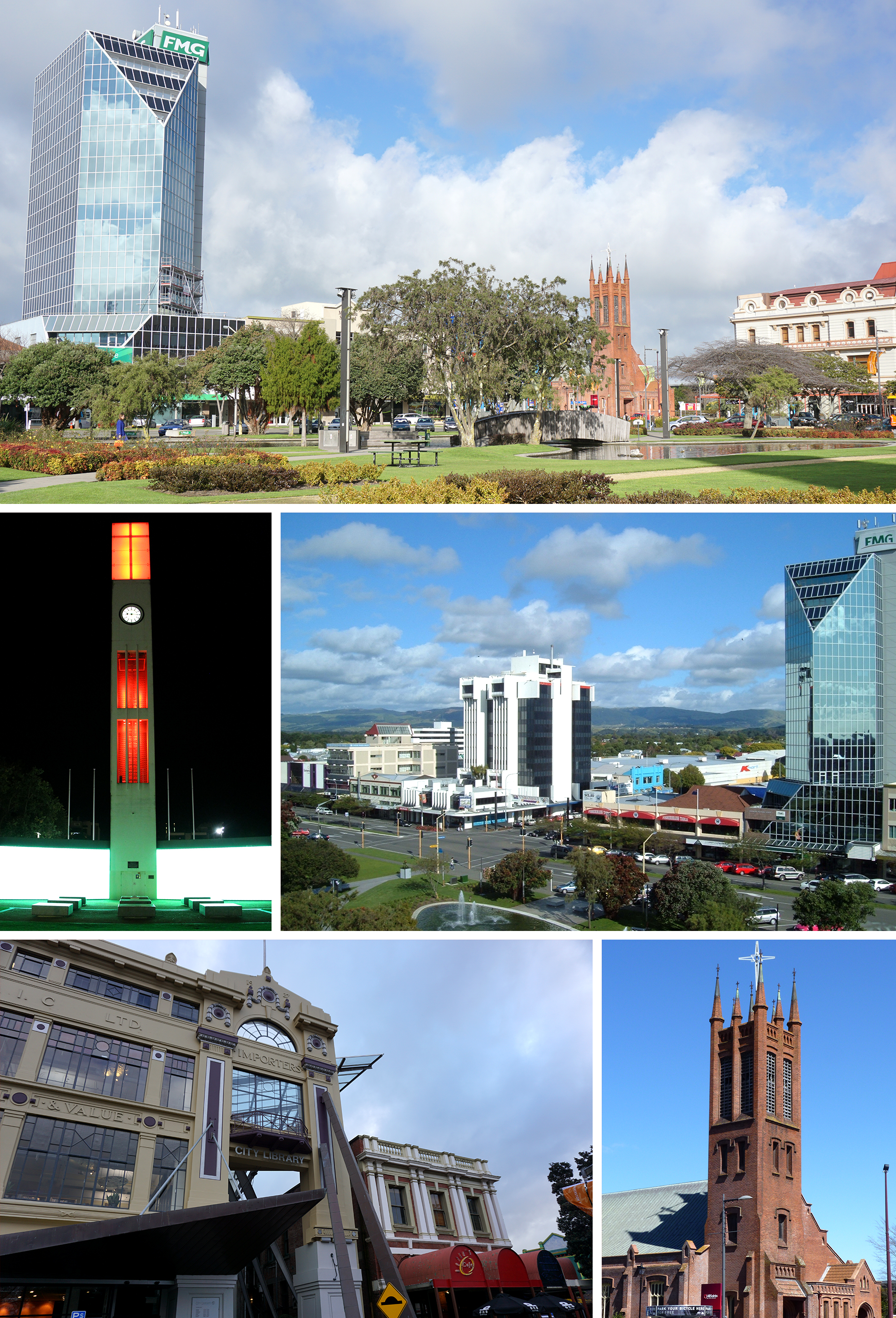
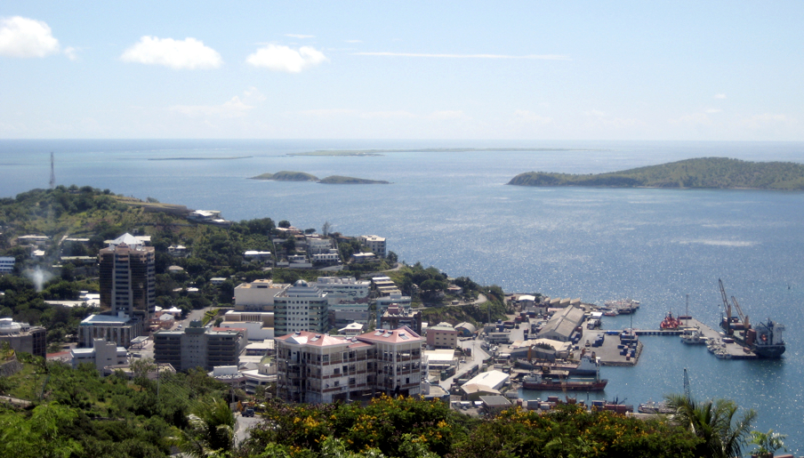
Embark on a thrilling journey through the diverse array of National Park in cities like Port Moresby, Nouméa and Rotorua across the Oceania continents, revealing hidden gems waiting to be discovered. Whether you’re a local business or a multinational company, these cities proudly display a rich tapestry of profesional services designed to cater to a wide array of preferences.
The 6 Best National Park near Lae, Papua New Guinea
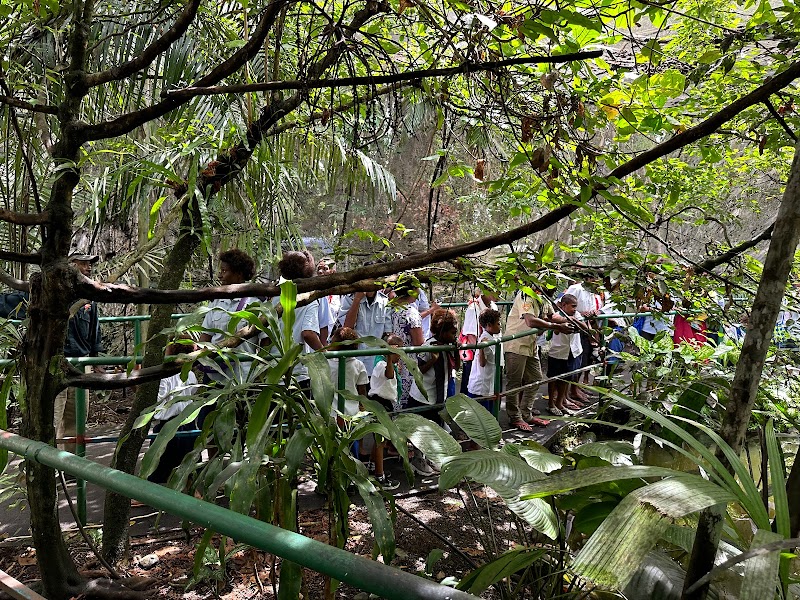
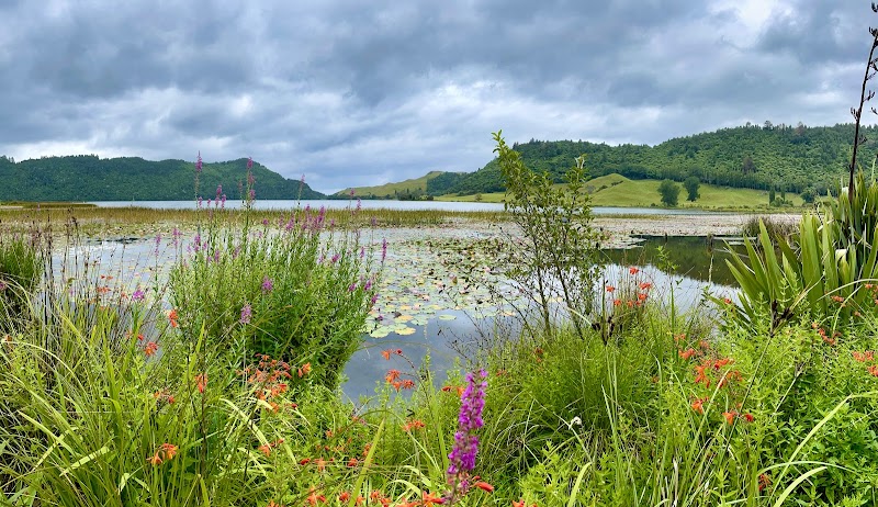
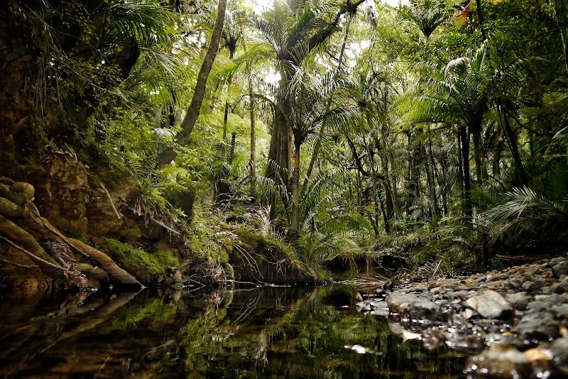
Rainforest Habitat
- Address: 8XQW+H6H, Lae Morobe Province, Papua New Guinea
- Map: Click here
- Rating: 3.7 (120)
- Phone: +675 473 4662
- Opening hours:
Monday: 8:30 AM – 5:00 PMTuesday: 8:30 AM – 5:00 PMWednesday: 8:30 AM – 5:00 PMThursday: 8:30 AM – 5:00 PMFriday: 8:30 AM – 5:00 PMSaturday: 8:30 AM – 5:00 PMSunday: Closed - Reviews:
a month agoRundown and not a lot of animals. Most cages are empty.2 weeks agoEnvironment and Waste Management is one of my important and professionSpies geologist surveys, and heritage I consider setting up camp in remote for studies.
Logistics: Helicopter, radio communication, camp supervision, in-house training and managing.
7 months agoBeautiful and quiet. It’s like you walking through a forest, love it.2 weeks agoThe habitat consists of beautiful animals of a variety of species in Papua New Guinea. A pleasant place to understand the animal kingdom of this country.a month agoGood place to visit with Kids. Needs some maintenance and renovations. But decent
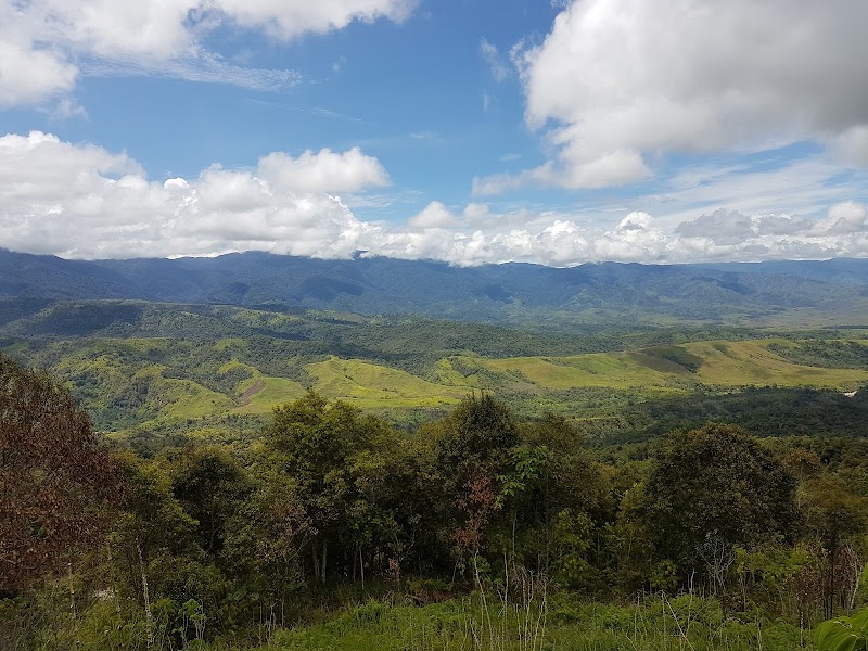
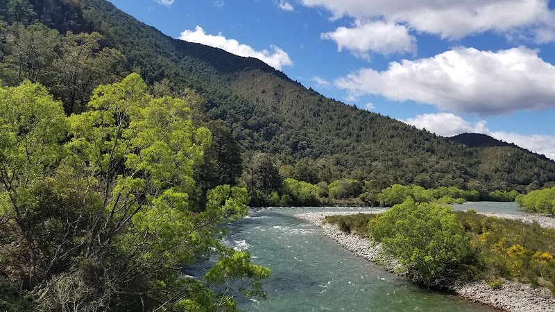
McAdam National Park
- Address: PJMH+2HW, Bulolo Morobe Province, Papua New Guinea
- Map: Click here
- Rating: 3.6 (57)
Amelia Earhart Memorial
- Address: 7X9X+H9H, Lae Morobe Province, Papua New Guinea
- Map: Click here
- Rating: 3.1 (42)
Shernae Recreational Activities
- Address: Morobe, Lae, Igam Barracks, Morobe 411, Papua New Guinea
- Map: Click here
- Rating: 5 (1)
Natauka Zamu Nature Park
- Address: Natauka Nil Port Moresby Eastern Highlands Province, 441, Papua New Guinea
- Map: Click here
- Rating:
Thank you for reading! If you have any additional information on the best National Park in Lae, Papua New Guinea, please leave a comment above. We would love to hear from you!

![Rotorua (Māori: [ˌɾɔtɔˈɾʉa]) is a city in the Bay of Plenty Region of New Zealand's North Island. The city lies on the southern shores of Lake Rotorua, from which it takes its name. It is the seat of the Rotorua Lakes District, a territorial authority encompassing Rotorua and several other nearby towns. Rotorua has an estimated resident population of 58,900, making it the country's 12th largest urban area, and the Bay of Plenty's second-largest urban area behind Tauranga.
Rotorua is a major destination for both domestic and international tourists; the tourism industry is by far the largest industry in the district. It is known for its geothermal activity, and features geysers – notably the Pōhutu Geyser at Whakarewarewa – and hot mud pools. This thermal activity is sourced to the Rotorua Caldera, in which the town lies.](https://upload.wikimedia.org/wikipedia/commons/8/8e/City_of_Rotorua.jpg)

![Whangārei (Māori: [faŋaːˈɾɛi]) is the northernmost city in New Zealand and the regional capital of Northland Region. It is part of the Whangārei District, a local body created in 1989 from the former Whangārei City, Whangārei County and Hikurangi Town councils, to administer both the city proper and its hinterland. The city population was estimated to be 56,900 in June 2023, an increase from 47,000 in 2001.](https://upload.wikimedia.org/wikipedia/commons/6/68/Parihaka_te_Maunga.jpg)
![Tauranga (Māori pronunciation: [ˈtaʉɾaŋa]) is a coastal city in the Bay of Plenty Region and the fifth-most populous city of New Zealand, with an urban population of 161,800 (June 2023), or roughly 3% of the national population. It was settled by Māori late in the 13th century, colonised by Europeans in the early 19th century, and was constituted as a city in 1963.The city lies in the north-western corner of the Bay of Plenty, on the south-eastern edge of Tauranga Harbour. The city extends over an area of 141.91 square kilometres (54.79 sq mi), and encompasses the communities of Bethlehem, on the south-western outskirts of the city; Greerton, on the southern outskirts of the city; Matua, west of the central city overlooking Tauranga Harbour; Maungatapu; Mount Maunganui, located north of the central city across the harbour facing the Bay of Plenty; Otūmoetai; Papamoa, Tauranga's largest suburb, located in the Bay of Plenty; Tauranga City; Tauranga South; and Welcome Bay.
Tauranga is one of New Zealand's main centres for business, international trade, culture, fashion and horticultural science. The Port of Tauranga is New Zealand's largest port in terms of gross export tonnage and efficiency. Tauranga is one of New Zealand's fastest-growing cities, with an 11% increase in population between the 2006 census and the 2013 census, and 19% between the 2013 and 2018 census. Due to its rapid population growth, Tauranga has become New Zealand's fifth-largest city, overtaking Dunedin and the Napier-Hastings urban areas.](https://upload.wikimedia.org/wikipedia/commons/e/e4/Walking_up_Mount_Maunganui_09_%285645002843%29.jpg)